
















0 reviews
Be the first to review this item!

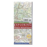
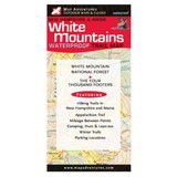
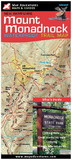
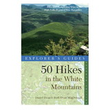
This richly illustrated map covers the highest and most popular peaks in the White Mountains of New Hampshire.
Map Features:
-41 day hikes with full descriptions
-Difficulty ratings
-The Appalachian Trail
-AMC and White Mountain National Forest Huts and campsites
-Mileage between points on hiking trails
-UTM/GIS Grid
-Countours in feet
Areas Covered:
-Mount Washington and the Presidential Range
-Crawford Notch
-Franconia Notch
-Mount Chocorua
-North Conway area
-Kancamagus Scenic Highway
 Attention CA Residents: Prop 65 Warning
WARNING:
This product can expose you to chemicals which are known to the State of California to cause cancer, birth defects, or other reproductive harm. For more information, go to www.p65warnings.ca.gov.