Manufacturer Part Number: TI00001005
National Geographic TI00001005 Pacific Crest Trail: Willamette Pass To Siskiyou Summit
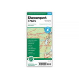
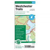
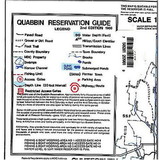
Waterproof Tear-Resistant Topographic Map The Pacific Crest Trail (PCT) covered in the Oregon South Topographic Map Guide mostly travels below the high mountain tops and ridges, skirting the bases of the enormous volcanoes of Diamond Peak, Mount Thielsen, and Mount Mazama (home to Crater Lake). Winding south of Ashland and towards the border with California, it enters the Klamath Mountains ecoregion. Here the volcanoes are replaced by mountains and foothills, canyons and valleys, and small ponds and lakes. Highlights of this section include the Diamond Peak, Mount Thielsen, Sky Lakes, and Soda Mountain wilderness areas, as well as Crater Lake National Park and Cascade-Siskiyou National Monument. The PCT spans 2,650 miles from the Canadian border, through Washington, Oregon, and California to the southern terminus on the Mexican border. The famous trail crosses some of the most wild and scenic landscapes of the western U.S., including six national parks, 25 national forests, 48 wilderness areas, the volcanic Cascade Range of the Pacific Northwest, the snowcapped Sierra Nevada, and the Mojave and Sonoran deserts. Each PCT Topographic Map Guide includes detailed topographic maps at a scale of almost 1 inch = 1 mile. Each page is centered on the PCT and overlaps with the adjacent pages so there is little chance of getting lost. Along the bottom of each page is a trail profile that shows the distance between shelters, camping areas, and trail access points. The map and trail profi
 Attention CA Residents: Prop 65 Warning
WARNING:
This product can expose you to chemicals which are known to the State of California to cause cancer, birth defects, or other reproductive harm. For more information, go to
www.p65warnings.ca.gov.