


0 reviews
Be the first to review this item!

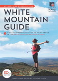
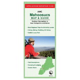
Appalachian Mountain Club maps are well known as the most comprehensive, accurate maps available for the mountains of the Northeast. This specially-priced complete set of AMC's Tyvek® maps of the White Mountain National Forest is an essential addition to any hiker's pack. Created using the latest GPS mapping technology, these waterproof, tear-resistant maps detail hiking trails in this spectacular region, plus AMC huts, shelters, campsites, and more. Built to last, they'll withstand the rigors of even the most rugged White Mountain trails for years to come.
Maps included:
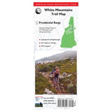
Map 1: Presidential Range with detailed map of the Northern Presidentials on reverse
Map 2: Franconia-Pemigewasset Range with detailed maps of Franconia Notch State Park and Waterville Valley on reverse
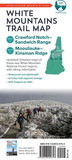
Map 3: Crawford Notch-Sandwich Range
Map 4: Moosilauke-Kinsman
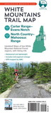
Map 5: Carter Range-Evans Notch
Map 6: North Country-Mahoosuc
 Attention CA Residents: Prop 65 Warning
WARNING:
This product can expose you to chemicals which are known to the State of California to cause cancer, birth defects, or other reproductive harm. For more information, go to www.p65warnings.ca.gov.