


0 reviews
Be the first to review this item!

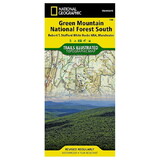
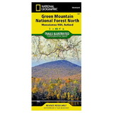
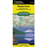
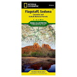
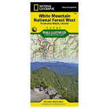
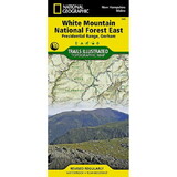
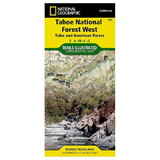
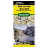
Miles of mapped trails will lead you off the beaten path and back on again, including parts of the Great Western Trail, Arapeen OHV Trails and National Recreation Trails, all shown with mileage markers and labeled for motorized, non-motorized, snowmobile, OHV, ATV, motorcycle or Nordic ski use. Navigate the area using the map's contour lines, elevations, labeled peaks and summits, water features and clear boundaries of public recreation land as well as a complete road network, including numbered Forest Service roads. Camping guides show each campground's location, elevation, amenities, and number of sites. Other recreation features include trailheads, interpretive trails, campgrounds, boat ramps, climbing areas, fishing holes, dump stations and marinas. State and national scenic byways are labeled along with their roadside facilities for those wishing to explore the area by car.
 Attention CA Residents: Prop 65 Warning
WARNING:
This product can expose you to chemicals which are known to the State of California to cause cancer, birth defects, or other reproductive harm. For more information, go to www.p65warnings.ca.gov.